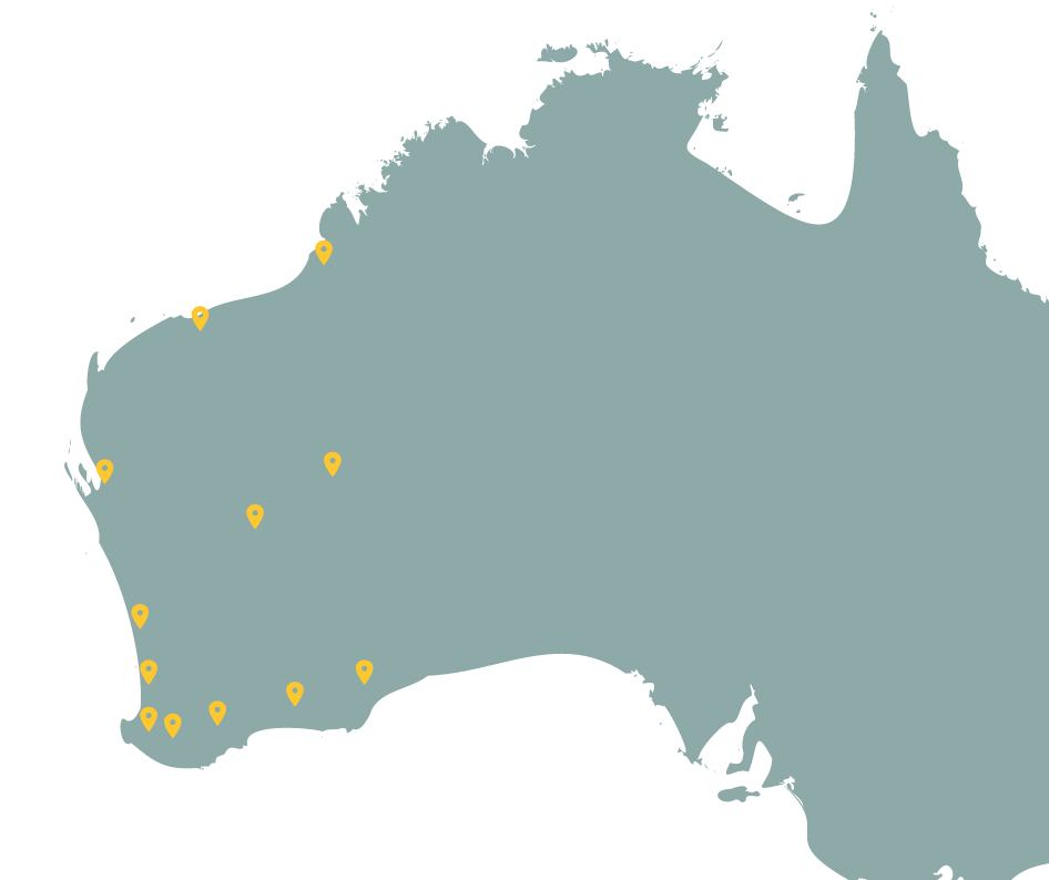
New dataset – DBCA Aquatic Projects
These projects were carried out by the DBCA’s Biodiversity and Conservation Science division and contain aquatic invertebrate, waterbird and diatom data from surveys carried out between 1980s and 2014. These datasets were previously available in NatureMap and are now being added into Dandjoo where they meet the minimum standards.
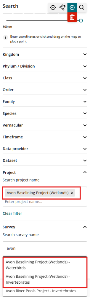
This dataset has been structured as Systematic Survey Data (SSD). We encourage users to first familiarise themselves to the Dandjoo SSD structure and functionality by referring to our Systematic Survey Data blog post
DBCA Waterbirds, Invertebrates and Diatoms Surveys are categorised into three taxonomic groups (where available):
- Waterbirds
- Invertebrates
- Diatoms
and follows the naming convention ‘Project name + taxonomic group’ (refer to the example below):
What we are working on
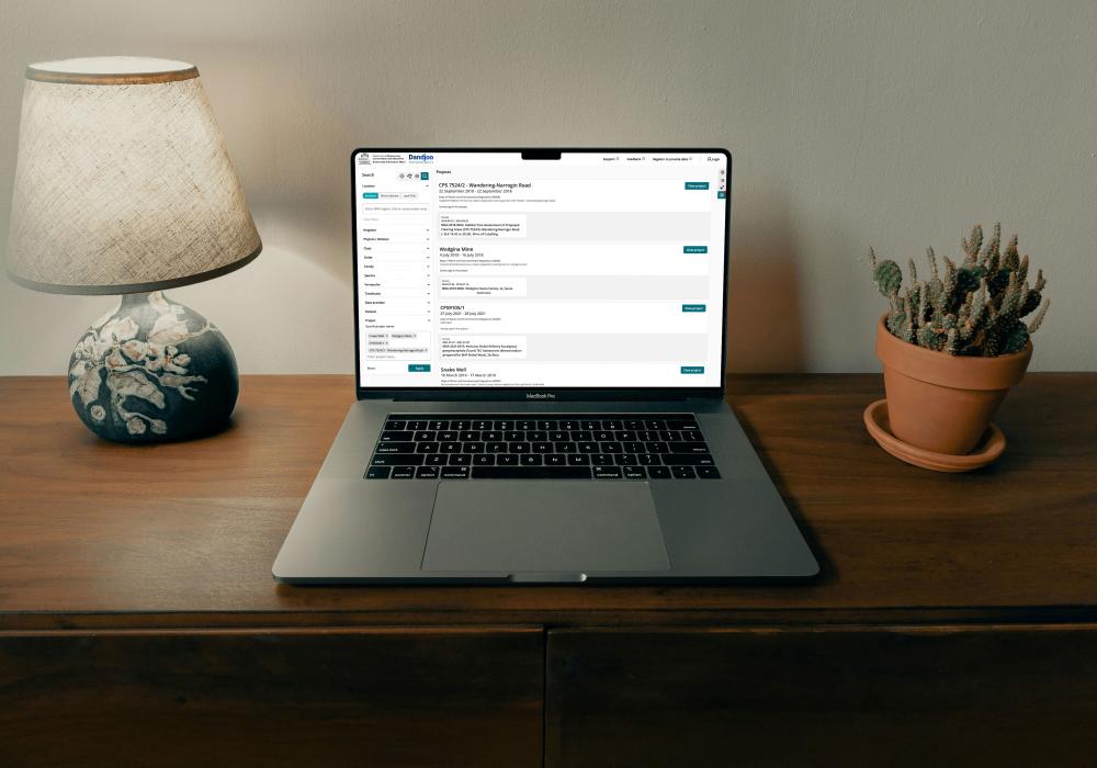
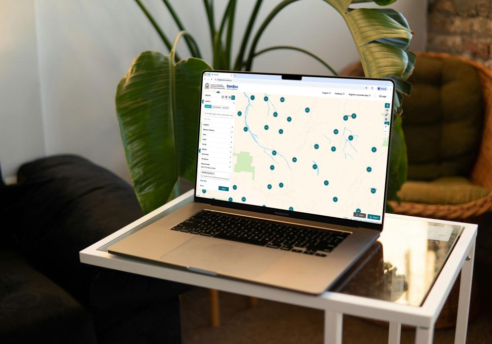
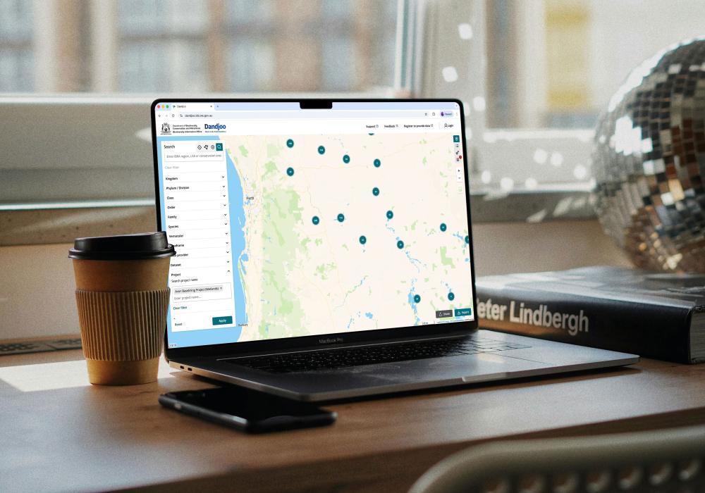
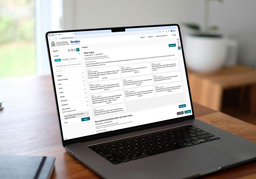
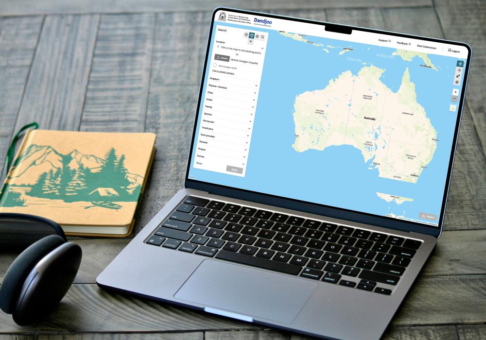
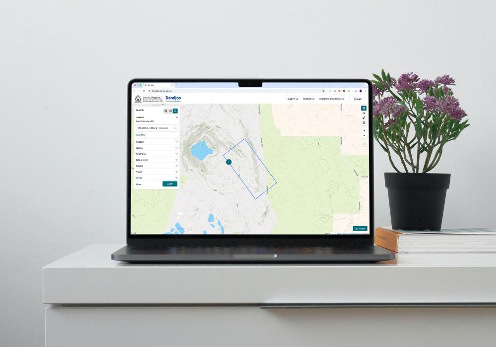
We have added functionality to be able to search, view and download (where available) Systematic Survey Data in the Dandjoo platform.
Join the BIO newsletter and get updated first
Sign up for access to the latest developments at the Biodiversity Information Office, upcoming Dandjoo features, and our newest datasets.