New Feature – Obfuscation
Dandjoo is committed to providing biodiversity data to the Western Australian public that is both usable and compliant with legislation regarding sensitive species. To do so, the DBCA (Department of Biodiversity, Conservation and Attractions) BIO team has been working hard to develop obfuscation techniques that both protect the precise locations of threatened species data and makes the presence of those species available in location searches through species lists. This obfuscation technique was built in consideration of the national Sharing of Restricted Access Species Data (RASD) framework. Now, all data users can see what threatened species exist in their local area without threatening their existence.
Why do we need to restrict access to sensitive species exact locations?
Pursuant to the Biodiversity Conservation Act 2016, Threatened and Priority species’ precise locations must be restricted for their protection.
Should you require precise locations of sensitive species records you can visit the DBCA Species and Communities Program to request a data search.
Why is obfuscation necessary?
Dandjoo has been under development to provide threatened species data to users that don’t have access to precise coordinates. This data has been obfuscated using the method outlined below. Providing obfuscated data strikes the balance between protecting sensitive species locations and providing useful information to stakeholders.
How does this align with other government bodies nationally and globally?
The method of obfuscation used in Dandjoo is guided by the Sharing of Restricted Access Species Data (RASD) framework. RASD outlines consistent best practices guidance for sharing data between trusted parties and a nationally consistent method for modifying data for public release. RASD is used by the Atlas of Living Australia (ALA), and principles are also in use by the Global Biodiversity Information Facility (GBIF).
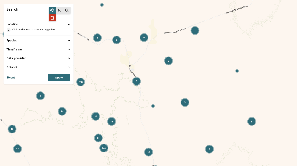
How does it work?
The method uses 0.1 x 0.1 decimal degree grid squares laid over Western Australia. The bounding box of these grid squares are calculated from the SW corner and the approved scale of 0.1 degrees. This means that a bounding box equates to approximately 10.5 kilometres squared in Western Australia.
Regardless of your Dandjoo search area size, the reporting area of a threatened species record is the size of the bounding box. Should a threatened species exact location fall into one of these grid squares, its location is generalised to the entire square. If your location search intersects with a grid square containing a threatened species record, it will be available in the species list downloads. At this time, information on threatened species can only be acquired through the use of species lists, with further development to provide obfuscated coordinates.
What we are working on
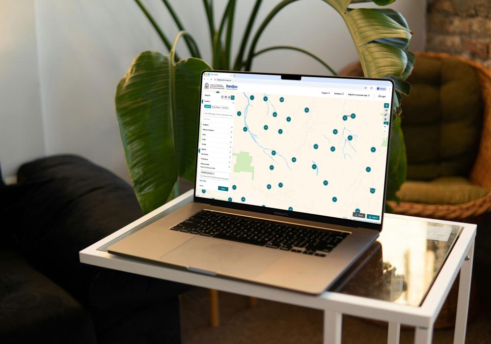
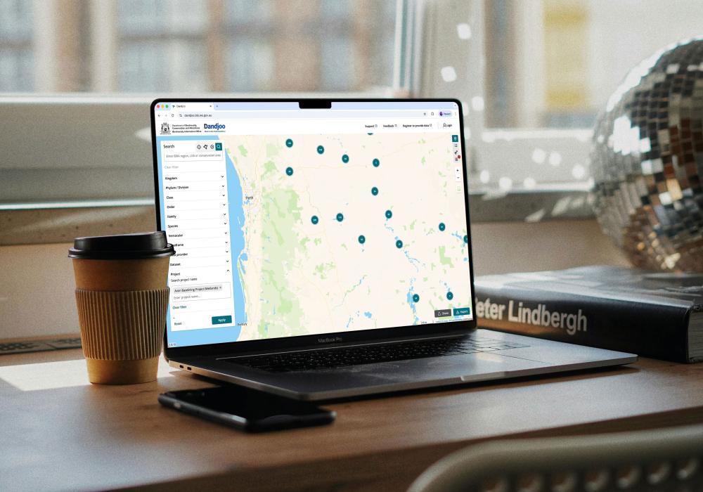
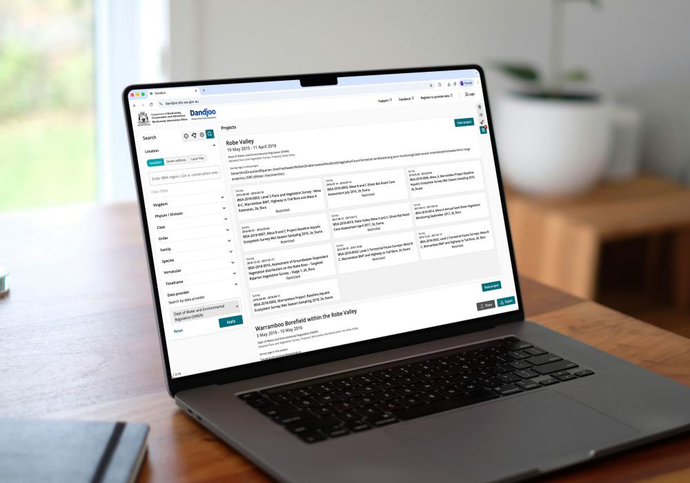
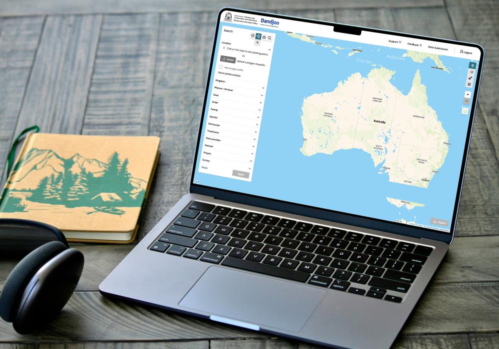
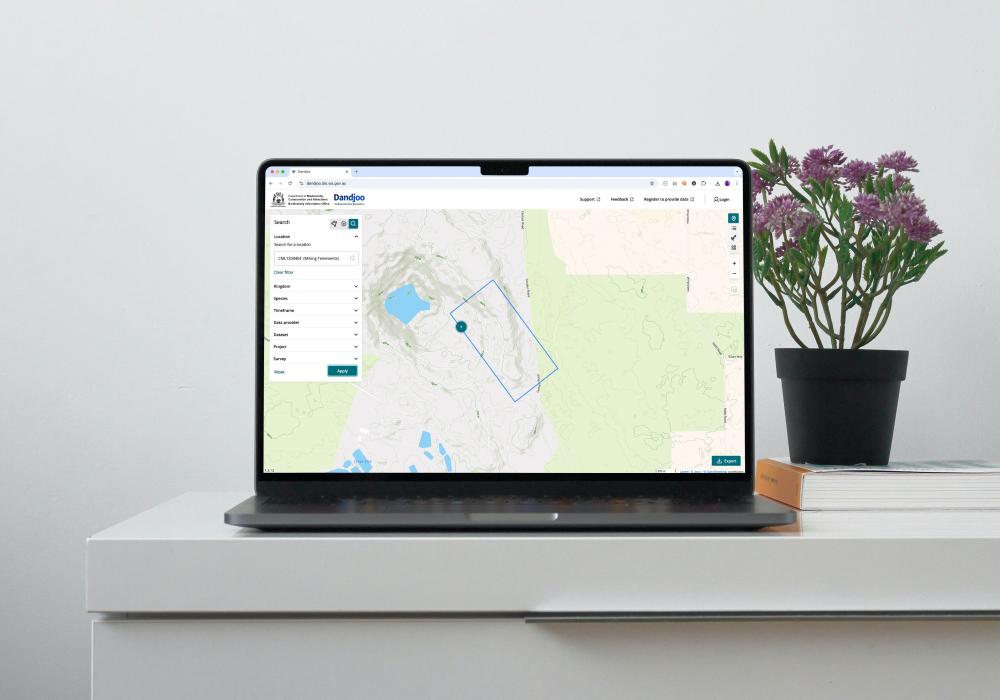
We have added functionality to be able to search, view and download (where available) Systematic Survey Data in the Dandjoo platform.
Join the BIO newsletter and get updated first
Sign up for access to the latest developments at the Biodiversity Information Office, upcoming Dandjoo features, and our newest datasets.