Data standards in Dandjoo
Making biodiversity data more searchable and usable.
About data standards
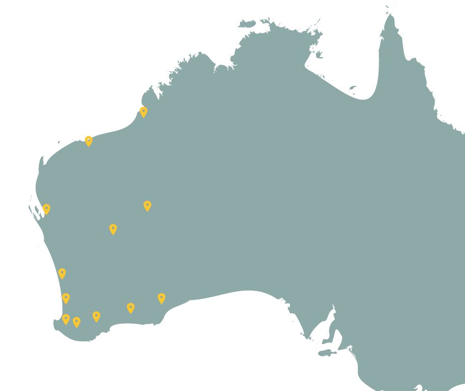
Dandjoo brings data from many different people and organisations together. This means that when data arrives at BIO for ingestion it may contain a variety of different fields and be structured quite differently from submission to submission.
Incoming data needs to be standardised so it can be represented consistently in Dandjoo and be combined and searched by data users. Dandjoo does this by allowing key fields in data submitted to be mapped to widely recognised biodiversity data standards.
The Darwin Core standard
Darwin Core is the first biodiversity data standard to be incorporated into Dandjoo, and BIO is currently reviewing other standards (such as VegX) for inclusion in future releases.
Darwin Core is an internationally recognised standard that supports management and sharing of biodiversity data, and defines a glossary of terms in a flat structure to represent taxon, occurrences, specimens, and samples.
Resources:
The Dublin Core standard
The Dublin Core Metadata Initiative (DCMI) is specifically based around record-level definitions, with some terms integrated into the widely used Darwin Core standard. Links to documentation for the expanded Dublin Core standard are provided below.
Resources:
The Australian Biodiversity Information Standard (ABIS)
The Australian Biodiversity Information Standard (ABIS) is a standard being specifically developed for biodiversity data exchange in Australia. It combines many established standards (including Darwin Core, and TERN Ontology) and is being designed to be machine readable.
ABIS is introducing standards related to surveys and projects, and are used in Dandjoo’s new Systematic Survey Data release.
Resources:
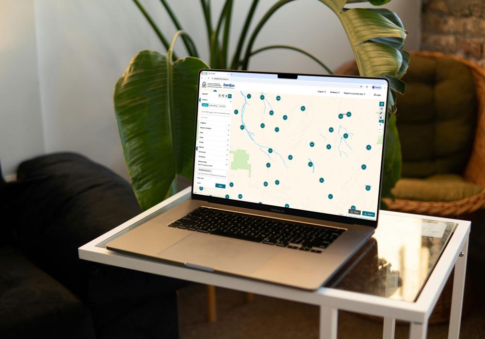
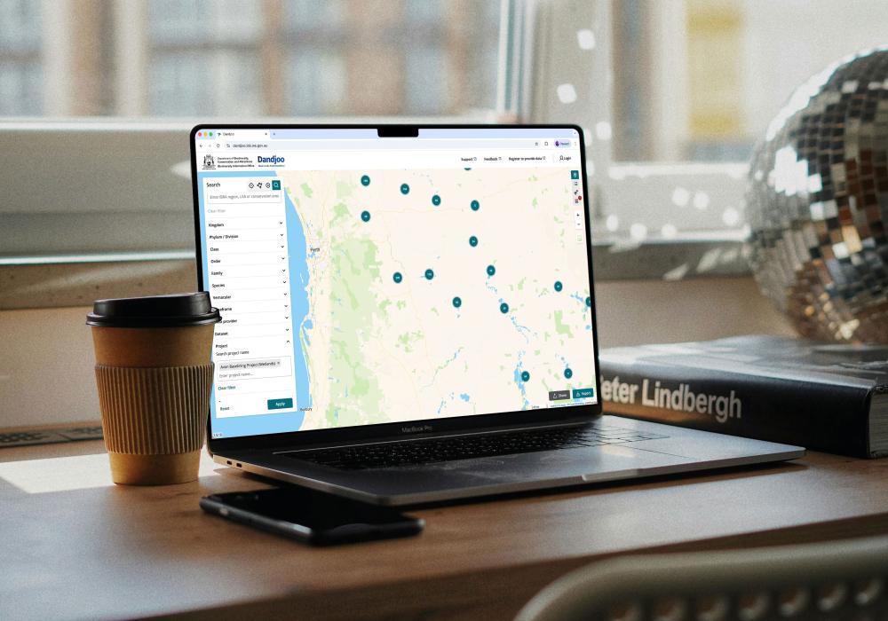
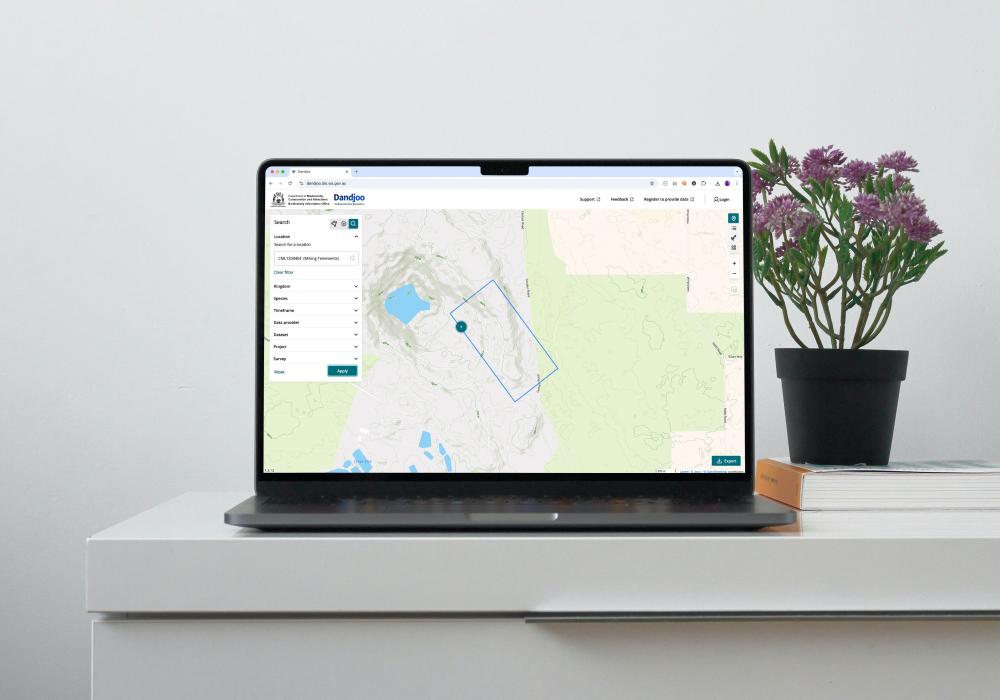
Data fields used in Dandjoo
When users export search results from Dandjoo, the export will contain the following data fields shown in the table below.
Some fields may be blank for some records - this means that the submitter who provided a record did not collect or upload data for that field, or may not have mapped the field during data submission. However, all submitters must provide certain core fields to show an organism’s name, and to indicate where and when it was observed.
| Data standard | Dandjoo Field | Data Field Property Name | Data Field Property Description |
|---|---|---|---|
| N/A | Record ID | Record_ID | The persistent unique ID assigned to each record in Dandjoo |
| Darwin Core | Data type | dwc:eventType | The nature of the dwc:event, in this case refers to either the occurrence or systematic survey data submission pathway |
| Darwin Core | Latitude | dwc:decimalLatitude | The geographic latitude (in decimal degrees, using the WGS84 (EPSG:4326) system) of the geographic centre of a Location. Positive values are north of the Equator, negative values are south of it. Legal values lie between -90 and 90, inclusive. |
| Darwin Core | Longitude | dwc:decimalLongitude | The geographic longitude (in decimal degrees, using the WGS84 (EPSG:4326) system) of the geographic centre of a Location. Positive values are east of the Greenwich Meridian, negative values are west of it. Legal values lie between -180 and 180, inclusive. |
| Darwin Core | Date observed/collected | dwc:eventDate | The date-time on which an Event occurred. For occurrences, this is the date-time when the event was observed. Not suitable for a time in a geological context. |
| Darwin Core | Field Scientific Name | dwc:scientificName | The full scientific name. When forming part of an Identification, this should be the full name, including the lowest level taxonomic rank that can be determined. (Note: In Dandjoo, this is the taxonomic name originally provided by the data submitter, after curation to address any errors.) |
| Darwin Core | Recognised Scientific Name | dwc:acceptedNameUsage | The full name, with authorship and date information if known, of the currently valid (zoological) or accepted (botanical) taxon. (Note: In Dandjoo, this is BIO’s determination of the most recently-known current name of the organism observed.) |
| Darwin Core | Submitter | dwc:institutionCode | The name (or acronym) in use by the institution having custody of the object(s) or information referred to in the record. (Note: In Dandjoo, this is the organisation that had custody of the information in the record, and submitted it to Dandjoo.) |
| Dublin Core | Dataset | dcterms:title | A name given to the resource. (Note: In Dandjoo, this is the dataset name provided by the submitter.) |
| Darwin Core | Dataset ID* | dwc:datasetID | An identifier for the set of data. May be a global unique identifier or an identifier specific to a collection or institution. |
| ABIS | Project name | abis:project | An Activity that requires concerted effort following a Plan in pursuit of an objective |
| Darwin Core | Project ID | dwc:parentEventID | An identifier for the broader dwc:event that groups this and potentially other dwc:events. |
| ABIS | Project Purpose | abis:purpose | The intent of the Activity |
| ABIS | Survey name | tern:survey | A Survey is an 'Activity' during which 'Sampling' or 'Observation' Activities occur. |
| Darwin Core | Survey ID | dwc:eventID | An identifier for the set of information associated with a dwc:event (something that occurs at a place and time). May be a global unique identifier or an identifier specific to the data set. |
| Dublin Core | Survey participants | dcterms:contributor | An entity responsible for making contributions to the resource. |
| ABIS | Survey date range start | tern:survey; prov:startedAtTime | Supports the association of a temporal entity (instant or interval) to any thing |
| ABIS | Survey date range end | tern:survey; prov:endedAtTime | Supports the association of a temporal entity (instant or interval) to any thing |
| Darwin Core | Survey Summary | dwc:eventRemarks | Comments or notes about the dwc:event. |
| Darwin Core | Bounding box | dwc:footprintWKT | The ellipsoid, geodetic datum, or spatial reference system (SRS) upon which the geometry given in dwc:footprintWKT is based. |
| Dublin Core | Habitat, Type and Highlights Tags* | dcterms:subject | A topic of the resource. Recommended practice is to refer to the subject with a URI. If this is not possible or feasible, a literal value that identifies the subject may be provided. Both should preferably refer to a subject in a controlled vocabulary. |
| Darwin Core | Documents | dwc:associatedReferences | A list (concatenated and separated) of identifiers (publication, bibliographic reference, global unique identifier, URI) of literature associated with the dwc:occurrence. |
| Darwin Core | Count | dwc:individualCount | The number of individuals present at the time of the Occurrence. |
| Dublin Core | Rights Holder | dcterms:rightsHolder | The person or organization owning or managing rights over the record. (Note: In Dandjoo, this is the submitter in most cases.) |
| Darwin Core | Method/Protocol | dwc:samplingProtocol | The names of, references to, or descriptions of the methods or protocols used during an Event. |
| GBIF Darwin Core Extension: Species Distribution | Conservation Status (authorized users only) | threatStatus | Conservation status of a species. (Note: This is populated and updated in Dandjoo based on the most recent threatened and priority species lists maintained by the Western Australian Government.) |
| Darwin Core | Identification basis | dwc:basisOfRecord | The specific nature of the data record. e.g. Fossil, live specimen etc. |
| Darwin Core | Collector* | dwc:recordedBy | A list (concatenated and separated) of the globally unique identifier for the person, people, groups, or organizations responsible for recording the original occurrence. Recommended best practice is to separate the values in a list with “space vertical bar space” ( | ). |
| Darwin Core | Field identification (original field name) | dwc:verbatimIdentification | A string representing the taxonomic identification as it appeared in the original record. |
| Darwin Core | Human observation ID* | dwc:occurrenceID | An identifier for the Occurrence (as opposed to a particular digital record of the occurrence). In the absence of a persistent global unique identifier, construct one from a combination of identifiers in the record that will most closely make the occurrenceID globally unique. |
| Darwin Core | Date identified | dwc:dateIdentified | The date on which the subject was determined as representing the Taxon. |
| Darwin Core | Identification Ambiguity | dwc:identificationQualifier | A brief phrase or a standard term ("cf.", "aff.") to express the determiner's doubts about the Identification. |
| Darwin Core | Identified by* | dwc:identifiedBy | A list (concatenated and separated) of names of people, groups, or organizations who assigned the Taxon to the subject. Recommended best practice is to separate the values in a list with “space vertical bar space” ( | ). |
| Darwin Core | Specimen ID* | dwc:materialSampleID | A physical result of a sampling (or subsampling) event. In biological collections, the material sample is typically collected, and either preserved or destructively processed. |
| Darwin Core | Identification notes | dwc:identificationRemarks | Comments or notes about the Identification. |
| Darwin Core | Scientific name publisher | dwc:scientificNameAuthorship | The authorship information for the scientific name formatted according to the conventions of the applicable nomenclatural code. |
| Darwin Core | Taxonomic Rank | dwc:taxonRank | The taxonomic rank of the most specific name in the dwc:scientificName. (e.g. species, subspecies, variety) |
| Darwin Core | Organism Remarks | dwc:organismRemarks | Comments or notes about the Organism instance. |
| Darwin Core | Presence/Absence | dwc:occurrenceStatus | A statement about the presence or absence of a Taxon at a Location. |
| Darwin Core | Preparations | dwc:preparations | A list (concatenated and separated) of preparations and preservation methods for a specimen (e.g. ethanol, dried). |
| Darwin Core | Genomic sequence information | dwc:associatedSequences | A list (concatenated and separated) of identifiers (publication, global unique identifier, URI) of genetic sequence information associated with the Occurrence. |
| Darwin Core | Life Stage | dwc:lifeStage | The age class or life stage of the Organism(s) at the time the Occurrence was observed (e.g. juvenile, nymph). |
| Darwin Core | Reproductive State | dwc:reproductiveCondition | The reproductive condition of the biological individual(s) represented in the Occurrence (e.g. pregnant, flowering). |
| Darwin Core | Native/introduced/feral | dwc:establishmentMeans | Statement about whether an organism or organisms have been introduced to a given place and time through the direct or indirect activity of modern humans. |
| Darwin Core | Geographic uncertainty (m) | dwc:coordinateUncertaintyInMeters | The horizontal distance (in meters) from the given decimal-Latitude and decimal-Longitude describing the smallest circle containing the whole of the Location. Leave the value empty if the uncertainty is unknown, cannot be estimated, or is not applicable (because there are no coordinates). Zero is not a valid value for this term. |
| Darwin Core | Area/locality of occurrence | dwc:locality | The specific description of the place. (e.g. 200km north of Perth). (Note: This is a free text field that does not correspond to a specific geography or list of regions.) |
| Darwin Core | Habitat | dwc:habitat | A category or description of the habitat in which the Event occurred. |
| Darwin Core | Vernacular name | dwc:vernacularName | A common or vernacular name. |
| N/A | Informal groups | ||
| Darwin Core | Kingdom | dwc:kingdom | The full scientific name of the kingdom in which the dwc:taxon is classified. |
| Darwin Core | Phylum | dwc:phylum | The full scientific name of the phylum or division in which the dwc:taxon is classified. |
| Darwin Core | Class | dwc:class | The full scientific name of the class in which the dwc:taxon is classified. |
| Darwin Core | Order | dwc:order | The full scientific name of the order in which the dwc:taxon is classified. |
| Darwin Core | Family | dwc:family | The full scientific name of the family in which the dwc:taxon is classified. |
*Not available for export in the current version of Dandjoo
Guidelines, services and standards
BIO Blog

We have added functionality to be able to search, view and download (where available) Systematic Survey Data in the Dandjoo platform.


Join the BIO newsletter and get updated first
Sign up for access to the latest developments at the Biodiversity Information Office, upcoming Dandjoo features, and our newest datasets.