Table view
About table view
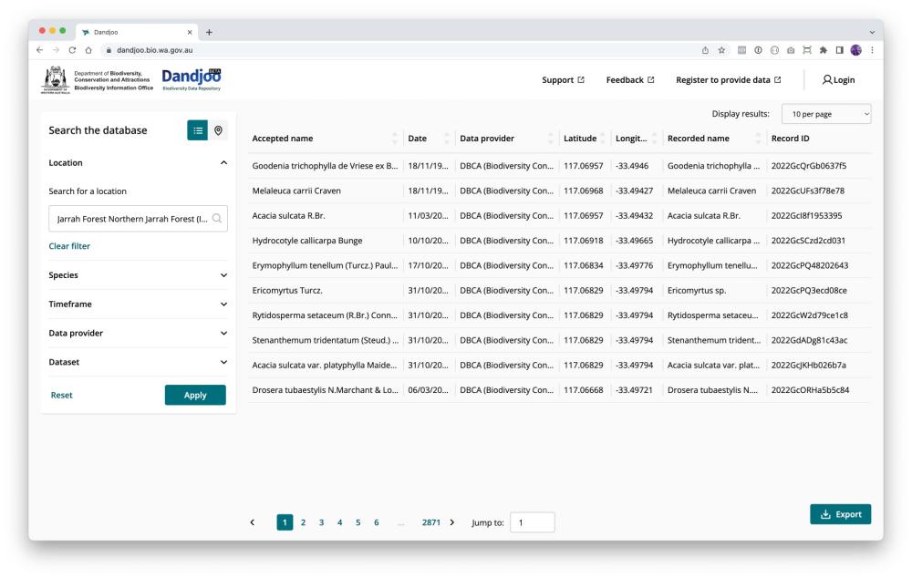
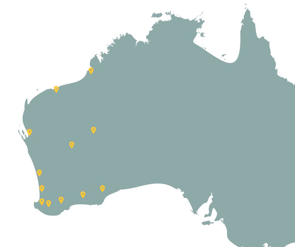
Table view provides an alternative to Dandjoo's map view for species observation records. It provides a preview of your data that includes a selection of key fields.
(If you would like to access all fields rather than the subset shown in table view, read the Downloading the data section of this guide to learn about exporting your search results, and visit Data standards for more information about the fields that are available.)
Image

Fields shown in table view
- Accepted name: The current, valid Western Australian scientific name for the organism (or the most recent known name where the current name cannot be determined due to a taxonomic split).
- Date: The date the organism was observed or the sample collected, as submitted by the data provider.
- Data provider: The organisation or individual that submitted the record. The data provider will generally be the owner of the data.
- Latitude: Decimal latitude of the observation (WGS84).
- Longitude: Decimal longitude of the observation (WGS84).
- Recorded name: The scientific name for the organism recorded by the data provider at the time it was observed or sampled.
- Record ID: BIO’s unique identifier for a record - if you have a query about a specific record you can provide this number so we can identify it.
Chapter from guidelines, services and standards
Join the BIO newsletter and get updated first
Sign up for access to the latest developments at the Biodiversity Information Office, upcoming Dandjoo features, and our newest datasets.
Image

